Why record heritage in 3D
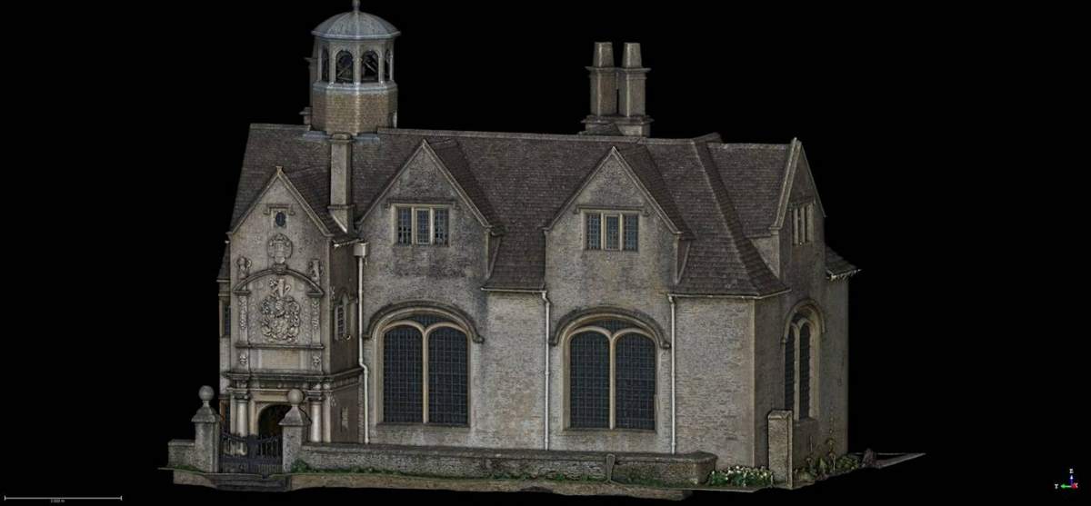
A detailed 3D record protects against future damage or loss and gives engineers and conservation teams accurate data to work from, for decades to come.
How we do it
We combine survey-grade laser scanning with high-resolution photography from the ground and from drones. The result is a textured 3D model and point cloud scaled to real-world space.
Deliverables
- 3D point clouds and textured models
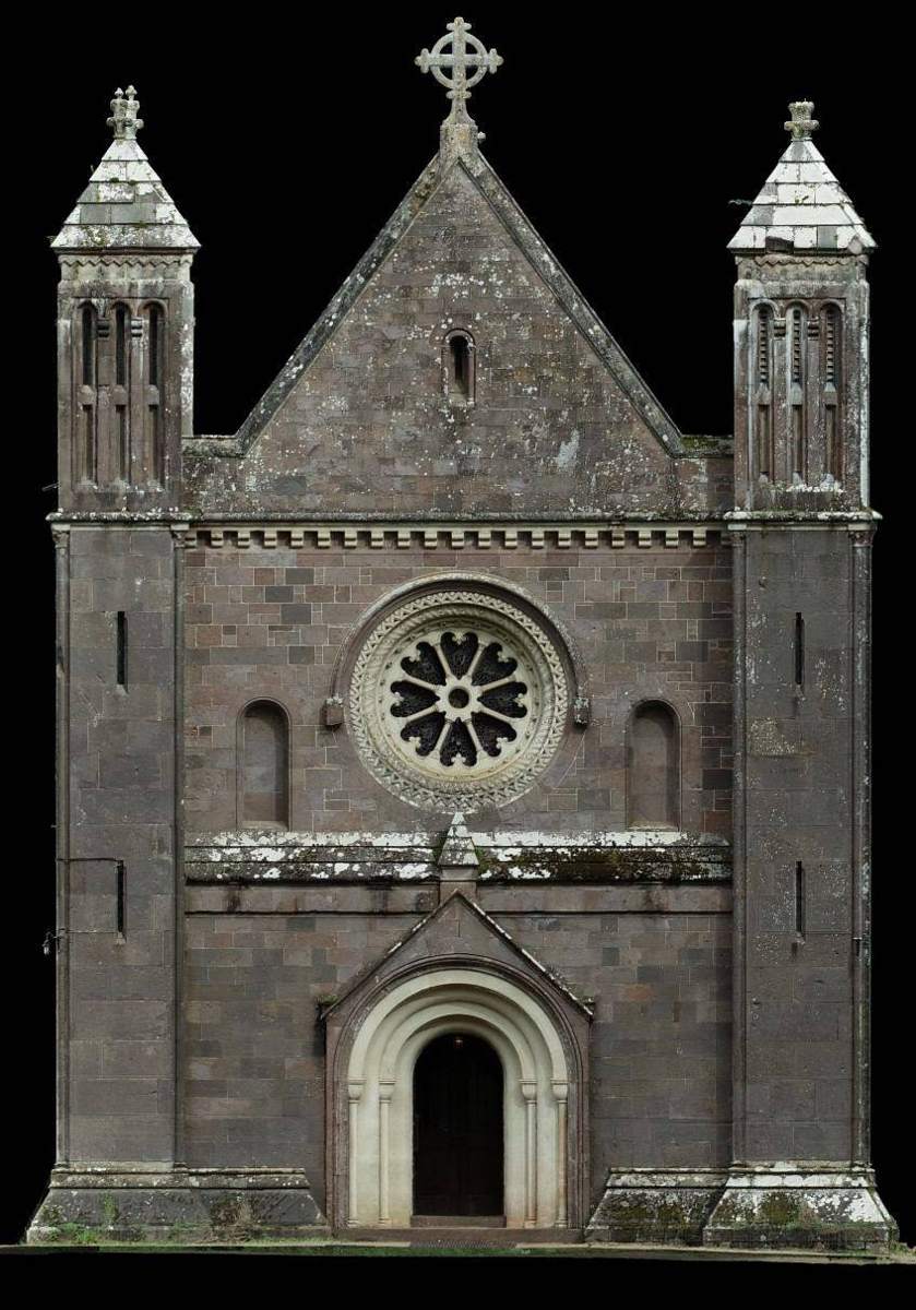
- Plans, sections and elevations you can measure from
- High-resolution ortho-images for AutoCAD
- Data geo-referenced to a topographic survey
- Interactive models that open in any web browser – kept private to you