What we capture
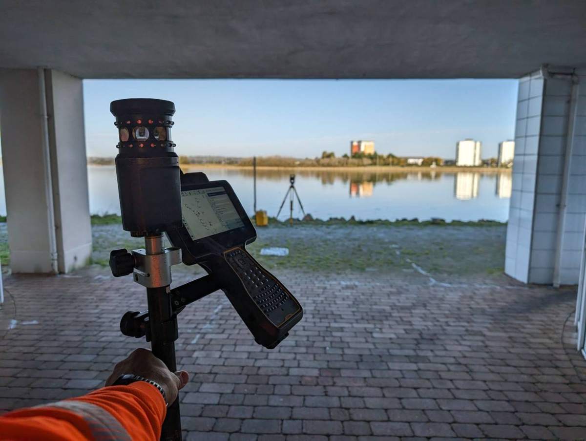
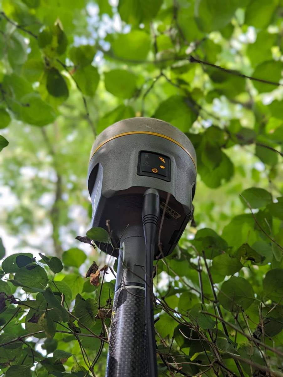
We map all ground features in three dimensions and draw them to the scale your project needs. Reflectorless instruments let us record detail we can't stand on:
- Ridge and eaves heights of buildings
- Structure heights and overhead cables
- Tree positions, spreads and heights
- Detail on neighbouring land, overlooking windows and bridge structures
Scales to suit the job
- 1:100 – detailed plans for a single dwelling or extension
- 1:200 / 1:500 – housing, commercial and highways schemes
- 1:1250 or 1:2500 – large sites such as solar farms
Hard-to-reach sites
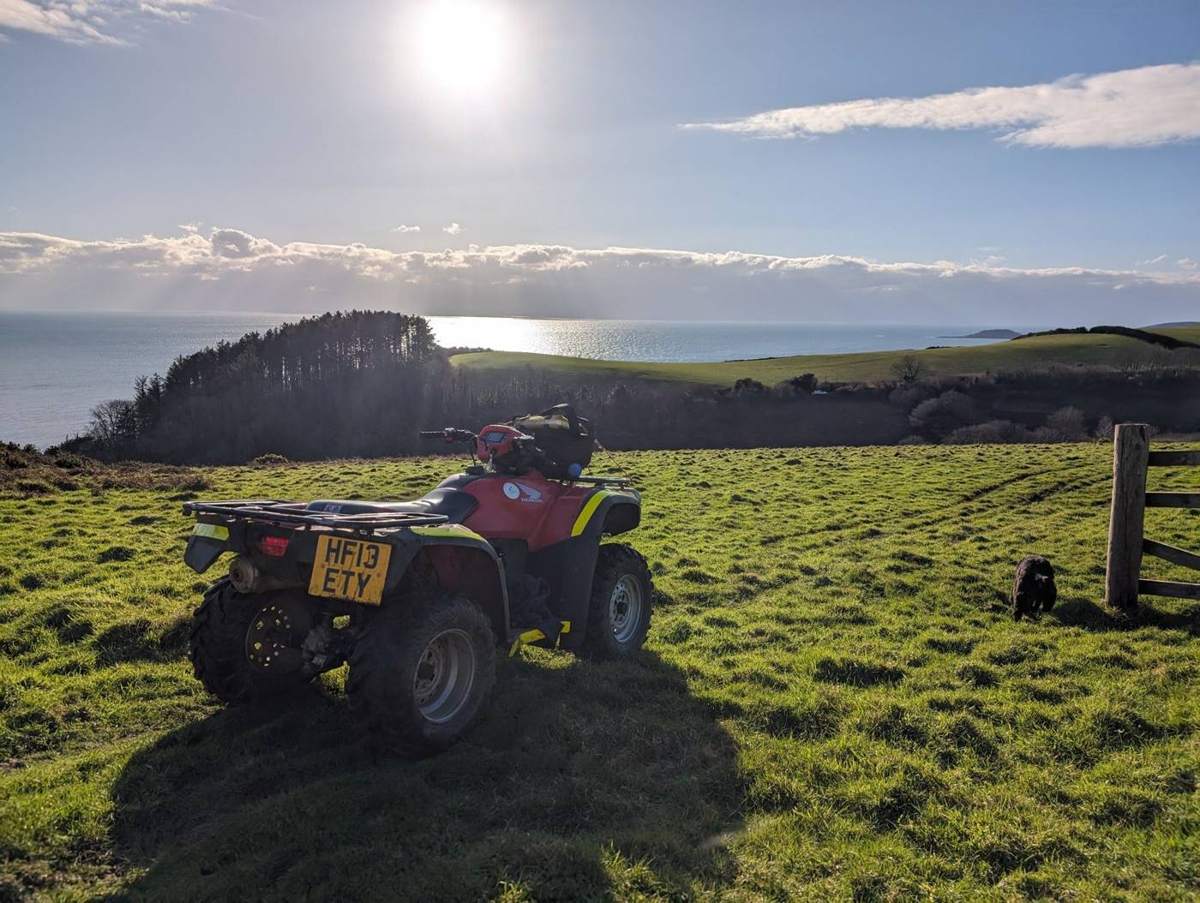
When a site is too big, too wet or too steep for a standard survey, we add drones for aerial mapping, RIB boats for rivers, lakes and the coast, and quad bikes to cover rough ground quickly. All of it is tied to the same control so it lands on one drawing.
What it's used for
- Planning applications and building development
- Infrastructure design and construction
- Flood risk assessment
- Environmental and conservation studies