Why it matters
Knowing where pipes and cables run, and how deep they are, lets designers avoid clashes and lets contractors excavate with confidence. It cuts the risk of utility strikes, delays, redesigns and fines.
Survey methodology M1–M4
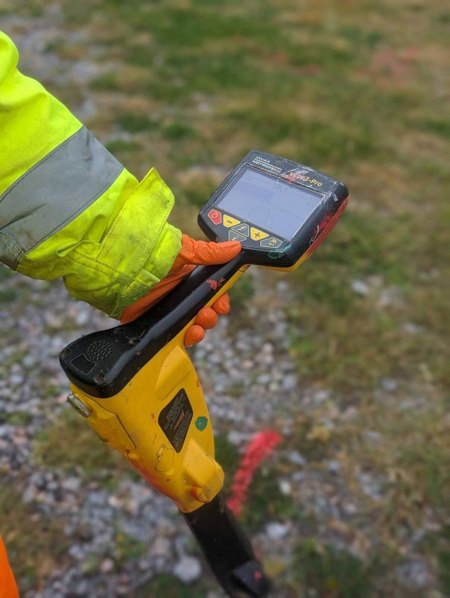
PAS 128 replaces 'approximate' service locations with measurable data. The M level sets how intensively we search – the higher the level, the tighter our GPR grid and electromagnetic search lines. On congested urban sites we work to M3P or M4P with 1 m or 0.5 m grids so that small or closely spaced services are not missed.
The 'P' – post-processing
Where a survey level includes P, the radar data isn't just read on a screen in the field. We take it back to the office and process it in specialist software, filtering out the noise that hides utility signals in difficult ground. The result is a far more reliable drawing than a site-only scan.
What we locate
- Pipes and ducts
- Electricity and telecoms cables
- Sewers and surface water drainage
- Unknown and abandoned services
Marked out and recorded
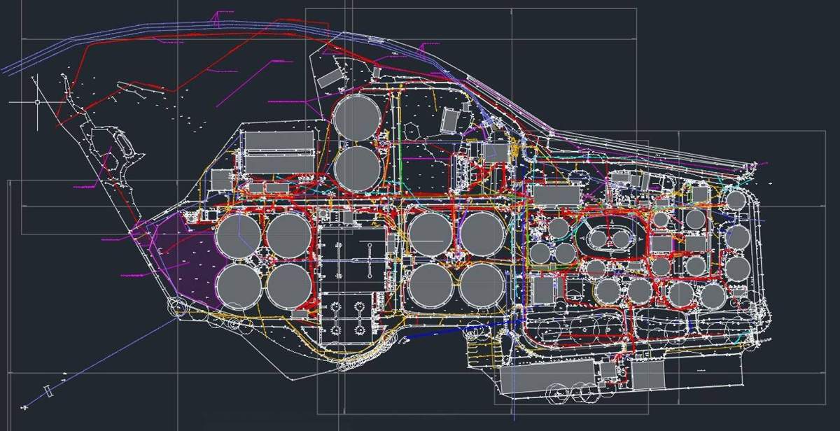
Every service we find is sprayed on site in its utility colour (chalk if you prefer), then surveyed so you keep a permanent coordinated record. We overlay the results on our topographic survey, or on a drawing you supply.