Fast, clean data
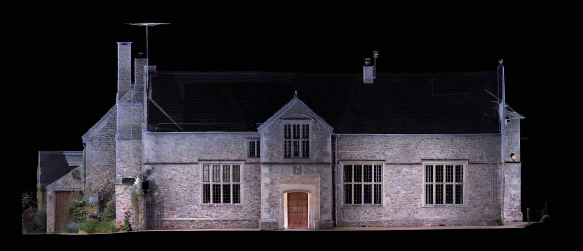
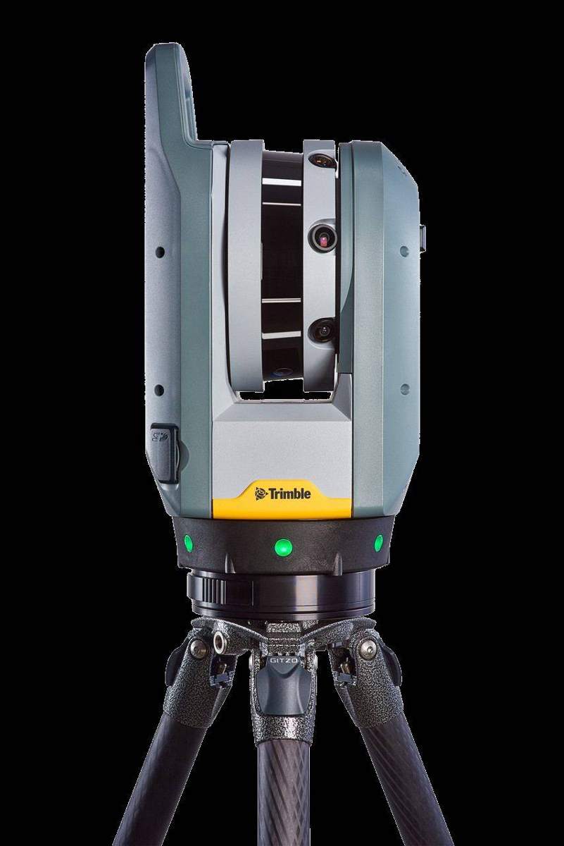
The Trimble X7 captures consistent, accurate data at high speed, in bright sunlight or total darkness, with an integrated HDR camera to colour the point cloud and survey-grade self-levelling. Fewer set-ups means less time on site.
Geo-located point clouds
Ground control from our Trimble R10 GNSS puts every scan in real-world coordinates, ready to combine with topographic and drone data.
Deliverables
- Colour point clouds
- CAD elevations drawn from scaled orthographic images
- Floor, ceiling and roof plans, and sections
- 3D meshes and BIM models
- Model verification – as-built scan compared against the design model