Aerial photogrammetry
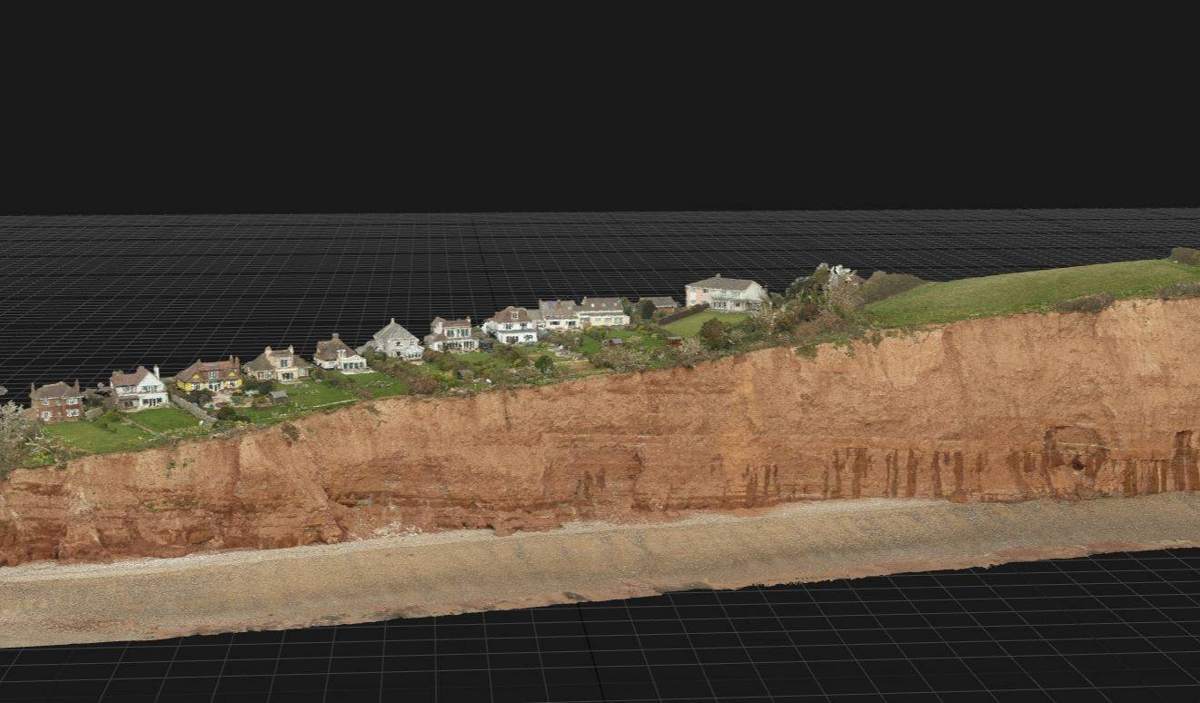
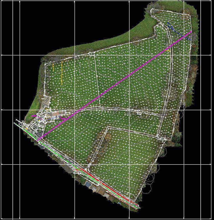
Overlapping high-resolution photographs are processed into accurate 2D maps and 3D models – ideal for large or complex terrain.
LiDAR
Laser pulses measure through gaps in vegetation, producing accurate terrain models where photogrammetry struggles.
What we use drones for
- Topographic mapping and orthomosaics
- Stockpile and earthworks volumes
- Roof, bridge and structure inspection without access equipment
- Coastal and cliff monitoring
- Agricultural and environmental surveys
Why it helps
- Large areas covered in a fraction of the time
- Fewer people working at height or near hazards
- Millions of points rather than hundreds
- Lower cost on big sites