Equipment
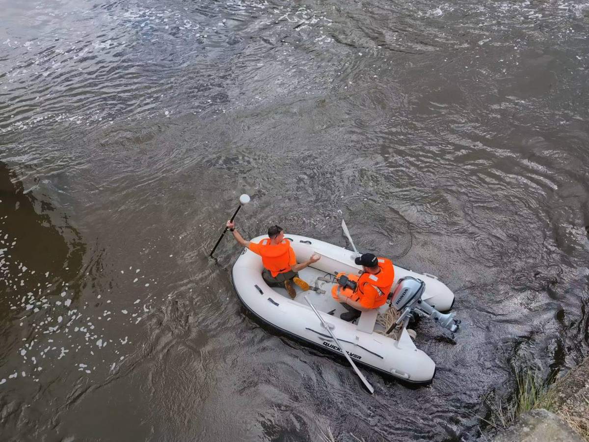
- GNSS for accurate real-time positioning of underwater features
- Total stations for shore control along the coast and nearshore
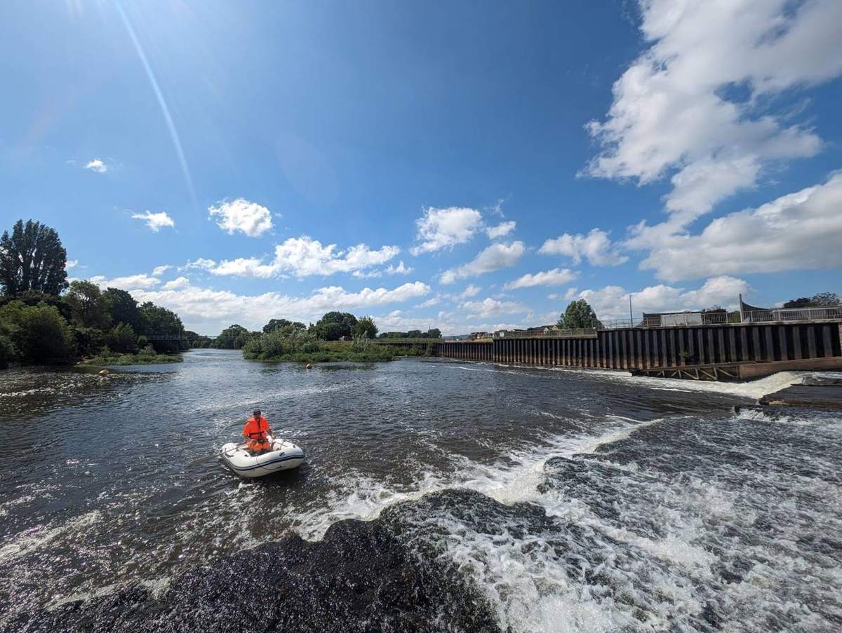
- RIBs as stable platforms for echosounders and underwater cameras
One combined survey
Underwater data is merged with our topographic surveys, 3D laser scanning and drone imagery, so you see the bed, the banks and the structures together.
Uses
- Coastal engineering and dredging
- Flood and river studies
- Habitat mapping and environmental monitoring
- Harbour and offshore infrastructure