
Home / Projects / Exeter city centre
3D laser scan point cloud
Case study · 3D laser scanning & topographic survey
Exeter's Underground Passages
Scanning the medieval passages that carried Exeter's clean water beneath the city.
The project
Documenting this much local history, right on our doorstep, was a privilege – and one of the most fascinating jobs we've done. It combined 3D laser scanning with the unique atmosphere of a medieval tunnel network beneath the streets.
01
The history
The passages were built in the 14th century to carry lead pipes bringing clean water into the city from springs outside the walls. Several of the original access points were later sealed during development or for safety.
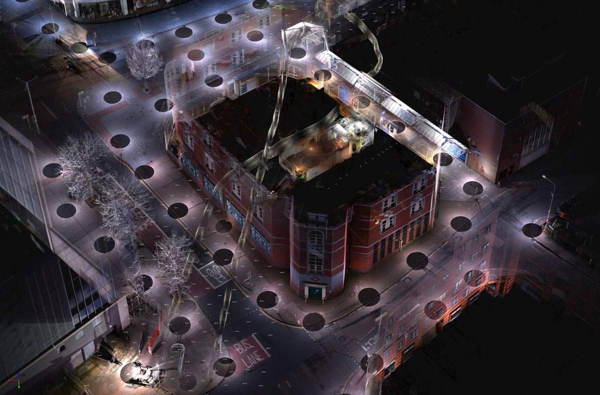 Point cloud of the streets above the passages
02
Data outputs
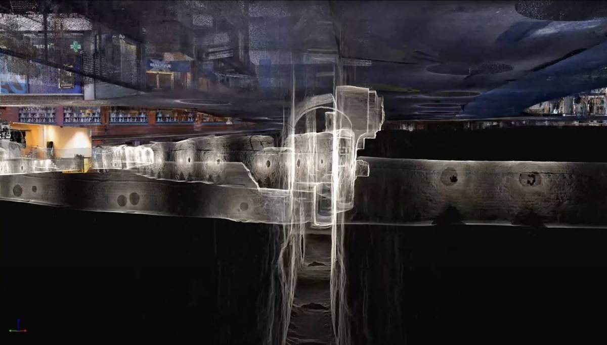
Topographic survey data overlaid with 3D point clouds, including a cloud-hosted point cloud with information attached, so the passages can be explored and measured online.
Section through the scan data, below street levelDeliverables
What we delivered
- 01
Topographic survey
Survey data of the surface, overlaid with the scan.
- 02
3D point clouds
Laser scan data of the passages beneath the streets.
- 03
Cloud-hosted point cloud
With information attached, so the passages can be explored and measured online.
Speak to a surveyor
Got a similar project?
Some projects are straightforward, others need a closer look. A quick call or email can save time and avoid delays later.
Unit 12, Kingfisher Court, Pinhoe Trading Estate, Venny Bridge, Exeter, EX4 8JN
Monday to Friday, 07:30 – 16:00